Winchester's walking and biking trails: the 6.06-mile Green Circle loop section by section, the free Trails at the MSV, Abrams Creek and parking.
Last checked Oct. 19, 2026. Distances, parking and rules come from the city’s Green Circle Trail page and trails and natural areas page, and from the Museum of the Shenandoah Valley.
Winchester’s main route is the Green Circle Trail, a 6.06-mile loop for walkers and cyclists that links Shenandoah University, Jim Barnett Park, Old Town, the Museum of the Shenandoah Valley and the Abrams Creek Wetlands Preserve. Parts run on dedicated paths along streams; others follow sidewalks and bike lanes, and some links are still being built.
Who to call
- Winchester Parks and Recreation: 540-662-4946, wincparks@winchesterva.gov. Report downed trees or washed-out bridges here.
- Trail map: Green Circle Trail map (PDF)
- Trails at the MSV: 540-662-1473, trails map
The Green Circle, section by section
The loop starts and ends at Millwood Avenue and East Jubal Early Drive, in front of the Hampton Inn. Mile markers count from there.
| Section | Mile markers | Where to park |
|---|---|---|
| University Area | 0.0 to 0.3 | Jim Barnett Park (Lowery tennis courts), Visitors Center |
| Town Run Linear Park | 0.3 to 1.0 | Jim Barnett Park, Visitors Center, Shawnee Springs Preserve |
| Town Run Canyon | 1.0 to 1.36 | Court Square Autopark (South Kent Street), street parking |
| Old Town Winchester | 1.36 to 2.12 | Four downtown garages, street parking, lots |
| Amherst Street Corridor | 2.12 to 3.16 | Street parking, MSV trail parking |
| Meadow Branch Avenue | 3.16 to 4.25 | Street parking, John Kerr Elementary (weekends only) |
| Jubal Early Drive Corridor | 4.25 to 6.06 | Street parking |
- University Area and Town Run Linear Park. The trail runs along University Drive, then through Shenandoah University and Jim Barnett Park. Restrooms are at the Winchester-Frederick County Visitors Center, 1400 S. Pleasant Valley Road, near mile 0.3, and at Christianson Familyland in Jim Barnett Park near mile 0.45, with playgrounds. It then passes through the Shawnee Springs Preserve, the site of a Civil War field hospital and the city’s old waterworks.
- Town Run Canyon. Opened in September 2016, this stretch follows Town Run from East Pall Mall Street and climbs a switchback to East Cecil Street, beside Ruth Jackson Memorial Park.
- Old Town. The trail follows sidewalks on South Kent, Clifford, South Cameron and Cork streets and the south half of the Loudoun Street Mall. Bikes must be walked on the mall; cyclists can instead follow the green sharrows west on Clifford Street to Washington Street and north to Boscawen Street.
- Amherst Street Corridor. A 1.1-mile run past Glen Burnie and the Museum of the Shenandoah Valley to Winchester Medical Center, with connections into the MSV trails.
- Meadow Branch Avenue. Sidewalks for walkers and bike lanes in both directions for cyclists. The city suggests walkers cross to the west side at Buckner Drive, where the east sidewalk is incomplete.
- Jubal Early Drive Corridor. Built from mile 4.25 to just east of Harvest Drive, with a bridge over Abrams Creek finished in June 2021. East of there, walkers use the sidewalk on the south side of Jubal Early Drive. The road is a four-lane divided highway with speed limits up to 40 mph and no bike lanes, so the city suggests cyclists take Handley and Bellview avenues instead; take care on the steep part of Bellview between Handley Avenue and Lewis Street.
Shorter loops and spur trails
- Handley Half Circle, about 1.6 miles, crossing the John Handley High School grounds designed by the Olmsted Brothers. With about 2.25 miles of the main trail it makes a western loop of roughly 3.9 miles.
- Abrams Creek Wetlands Preserve spur, 0.66 miles with an elevated boardwalk, from the Handley Avenue end of Jubal Early Drive. The 25-acre preserve is a calcareous fen with more than 300 plant species, 180 kinds of birds and three plants found nowhere else in Virginia. Take the self-guided audio tour on your phone (preserve page).
- Shawnee Springs Trail, a 0.26-mile gravel path through the wooded springs, past the old waterworks settling basins; it rejoins the main trail, so there is no backtracking.
- Kiwanis Par Course, Jim Barnett Park: a one-mile fitness loop with 18 exercise stations (not ADA accessible).
- Winchester Medical Center: a 0.45-mile trail around a lake on the hospital campus and a paved trail around the pond at deGrange Orchard Park, off Amherst Street at Campus Boulevard.
The Trails at the MSV
The Trails at the MSV, at the Museum of the Shenandoah Valley, 901 Amherst St., are a free 90-acre art park open daily from 7 a.m. to dusk, year-round (MSV trails page):
- About 1.8 miles of paved trail around the edge (tar-and-chip, good for strollers and wheelchairs) and about a mile of mulch and grass trails (not ADA accessible).
- A 2.25-mile loop uses the perimeter trail plus the 0.43-mile stretch of the Green Circle on Amherst Street.
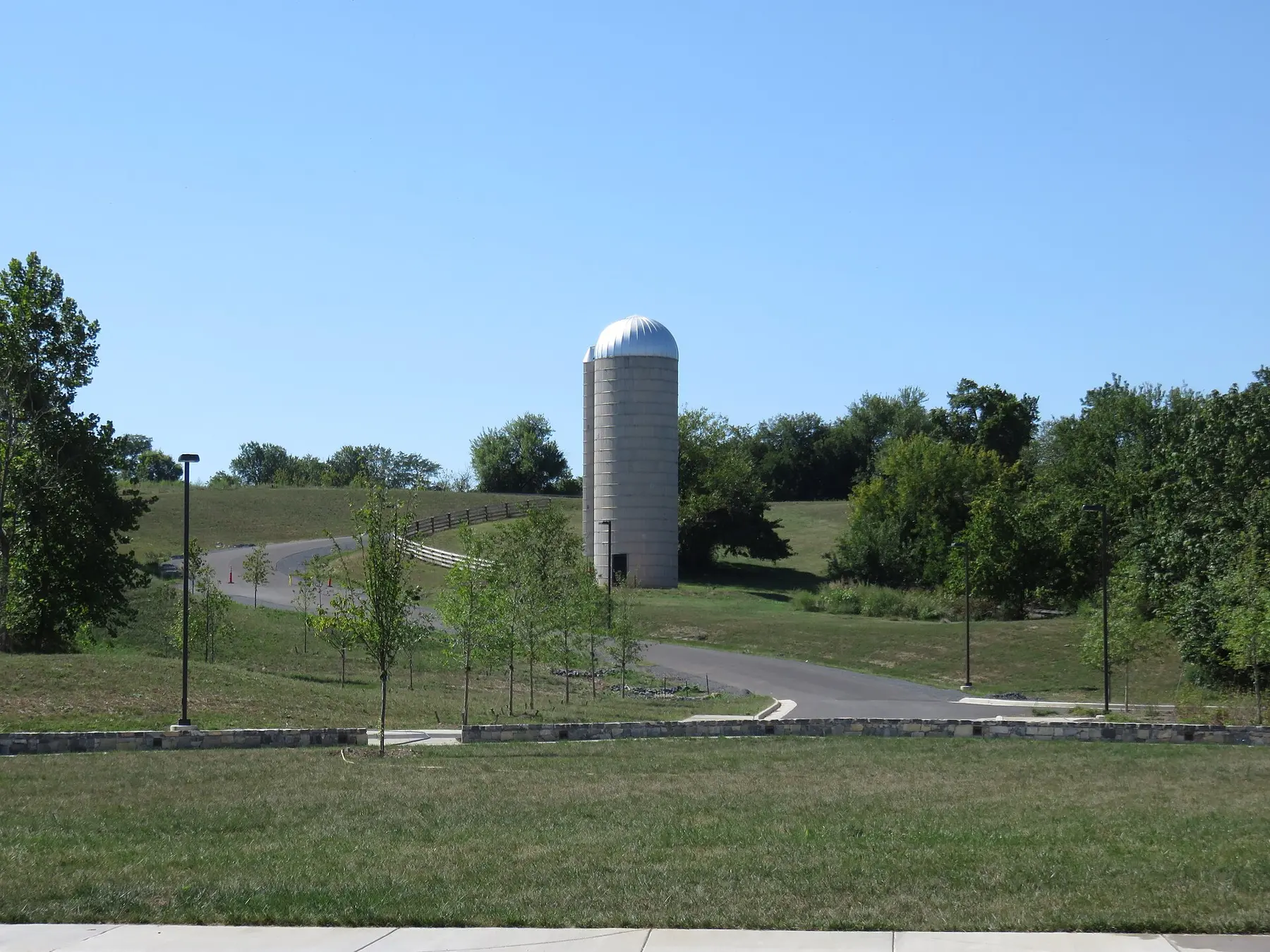
- Outdoor art, a standing stone circle, a fieldstone ha-ha, 10 grassy picnic mounds, a treehouse and a garden by a renovated 1950s silo.
- Bikes and leashed dogs are welcome; no horses or motorized vehicles.
- Entrances on Amherst and Jefferson streets; parking at the trailhead near the MSV entrance, the main lot and five spaces at the Jefferson Street trailhead. Restrooms open when the park is open.
Trail etiquette
From the city’s rules: stay on the trail, never litter and pick up after your dog. Cyclists yield to everyone, announce themselves when passing and slow down on blind curves. Walkers and runners keep right and pass on the left. Follow posted leash rules. City parks are open dawn to dusk. More in our dog-friendly Winchester guide.
What this means for you
- For a first ride or walk, try the paved MSV loop or the Handley Half Circle.
- Park at Jim Barnett Park or the Visitors Center for the eastern half, where the restrooms are.
- Cyclists: walk through the Loudoun Street Mall, and skip Jubal Early Drive on a bike.
Related: parks and trails, getting around and free things to do.
Frequently asked questions
How long is the Green Circle Trail in Winchester?
The full loop is 6.06 miles, starting and ending at Millwood Avenue and East Jubal Early Drive. A shorter western loop using the Handley Half Circle is about 3.9 miles.
Where do I park for the Green Circle Trail?
The city lists parking at Jim Barnett Park, the Winchester-Frederick County Visitors Center at 1400 S. Pleasant Valley Road, the four downtown parking garages, on-street spaces along Amherst Street and the trail parking at the Museum of the Shenandoah Valley.
Are the Trails at the MSV free?
Yes. The Trails at the Museum of the Shenandoah Valley are free and open daily from 7 a.m. to dusk, with about 1.8 miles of paved trail and another mile of mulch and grass paths. Bikes and leashed dogs are welcome.
Can I ride my bike on the Loudoun Street Mall?
No. City code requires cyclists to walk their bikes on the Loudoun Street Mall. The Green Circle has a signed bike route around it on Clifford and Washington streets.
Have your say