Northwest Winchester, north of Amherst Street, holds Winchester Medical Center and Whittier Park; 90% of addresses are zoned for John Kerr Elementary.
Last checked Oct. 19, 2026. The area and its boundaries are the City of Winchester’s Northwest planning area from its 2022 Comprehensive Plan (Chapter 11). School zones, parks and bus stops come from the city’s open GIS data; ratings from Virginia’s School Quality Profiles; home values from the Zillow Home Value Index (Zillow Research); stores and road distances from OpenStreetMap (© OpenStreetMap contributors).
Northwest Winchester is the corner of the city north of Amherst Street, built around Winchester Medical Center. The city’s 2022 Comprehensive Plan describes it as a medical center hub with single-family houses, offices along Amherst Street, one school, one park and ample green space. It holds about 850 of the city’s 16,729 address points.
What this means for you
- High school: John Handley High School, 425 Handley Blvd., rated Distinguished
- Elementary: John Kerr Elementary for most addresses; check yours
- Typical home value, ZIP 22601: $349,952 in September 2026, according to Zillow
- Nearest I-81 exit: Exit 315 (Route 7), about 2.8 miles by road
Where it is
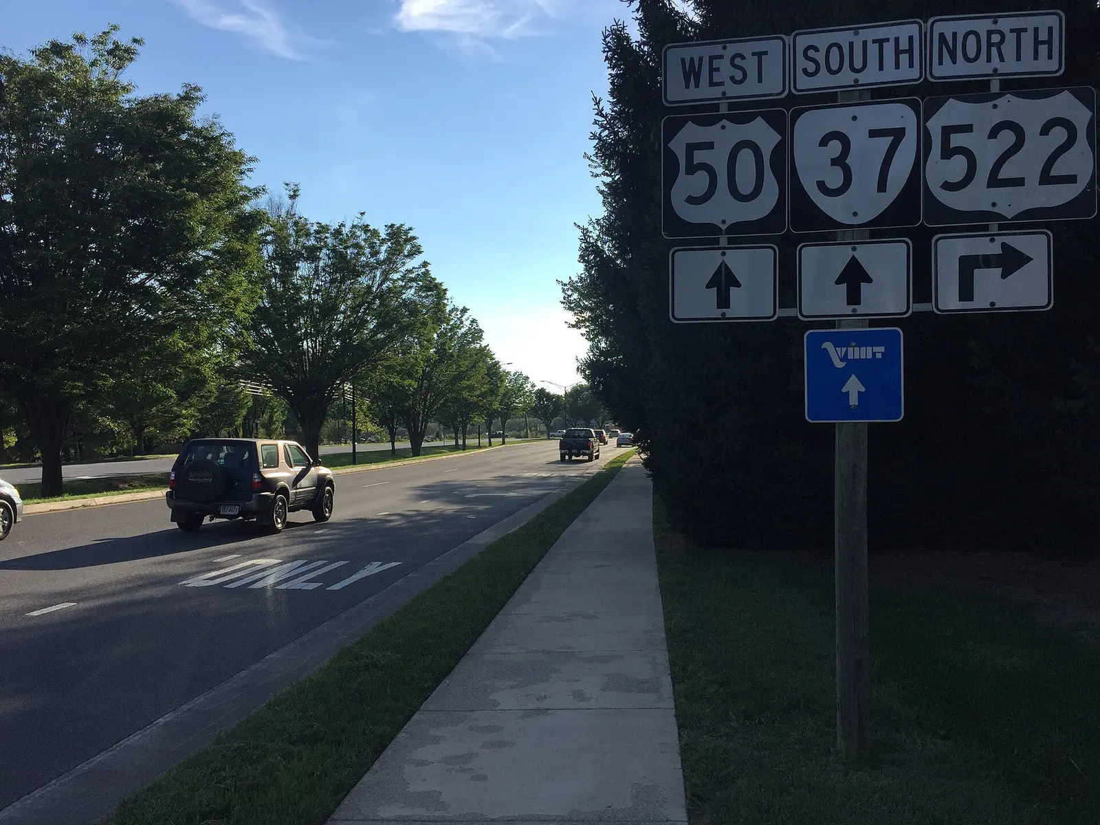
The plan draws the Northwest area north of Amherst Street (U.S. 50) and west of the abandoned rail line and Fairmont Avenue (U.S. 522), out to the city line with Frederick County on the north and west. Amherst Street is its main road, with Winchester Medical Center at Campus Boulevard near the western edge.
The plan also points to older industrial sites in the area’s northeast section, including the National Fruit property on Fairmont Avenue, as places for mixed-use redevelopment. Land along Fairmont Avenue is now part of the city’s Cider Hill Neighborhood Design District, which the city lists as approved, with a rezoning for a mix of homes, businesses and open space.
Every address is in ZIP code 22601 and in City Council Ward 1, on the city’s voting wards map.
Schools
Every city student goes to the same intermediate, middle and high school. Only the elementary school depends on the address. On the city’s School Districts map layer:
| School | Grades | Share of area addresses | State rating |
|---|---|---|---|
| John Kerr Elementary, 427 Meadow Branch Ave. | Pre-K to 4 | About 90% | Approaching Expectations |
| Virginia Avenue Charlotte DeHart Elementary, 550 Virginia Ave. | Pre-K to 4 | About 10% | Meets Expectations |
| Daniel Morgan Intermediate, 48 S. Purcell Ave. | 5 and 6 | All | Approaching Expectations |
| Daniel Morgan Middle, 48 S. Purcell Ave. | 7 and 8 | All | Approaching Expectations |
| John Handley High, 425 Handley Blvd. | 9 to 12 | All | Distinguished |
All seven city schools are Fully Accredited. The map layer is undated, so check one address with the division’s WebQuery lookup or call Winchester Public Schools at 540-667-4253. Our schools guide has every rating and how to register.
Home values
The Zillow Home Value Index for ZIP 22601 was $349,952 in September 2026, up 1.1% from $346,046 in September 2025. Zillow’s index for Winchester as a whole was $398,946, up 1%. The index is a modeled typical value for the middle third of homes, not a sale price, and one ZIP covers the whole city. Our home prices guide has the trend.
Parks and trails
- Whittier Park, 900 Whittier Ave., about 6.6 acres, the city park inside the area
- Green Circle Trail: a section runs through the area, including a spur on the Winchester Medical Center campus, according to the city’s trail map
Glen Burnie and the Museum of the Shenandoah Valley sit just south of Amherst Street in the West Central area. Our parks and trails guide has the full list.
Getting around
- Interstate 81: Exit 315 (Route 7) is about 2.8 miles by road from the middle of the area’s homes, and Exit 313 (U.S. 17, U.S. 50 and U.S. 522) about 2.9 miles. Route 37, the Winchester bypass, is just west of the city line.
- Downtown: the Loudoun Street Mall is about 1.6 miles by road.
- Washington Dulles International Airport: about 53 miles by road.
- Buses: the Loop Route runs along Amherst Street with stops at Linden Drive, the Museum of the Shenandoah Valley and the Winchester Medical Center main entrance and diagnostic center, according to the city’s bus stop map.
- On demand: WinReady rides cover the whole city.
Distances are measured on the road network with OSRM routing on OpenStreetMap data. They are distances, not drive times. More in our getting around guide.
Groceries and everyday stores
From OpenStreetMap:
- Rotz Pharmacy, inside the area
- CVS Pharmacy, 1725 Amherst St., just across Amherst Street
- Walmart Supercenter, 501 Wal Mart Drive, and Martin’s, 200 Rivendell Court, both just outside the city line in Frederick County
How we built this
The boundary is the one the 2022 Comprehensive Plan gives in words; we drew it on the city’s own street and rail lines. School shares count the city’s address points inside each elementary zone on the city’s map layer. We do not name individual subdivisions or describe who lives in an area.
Related guides: all Winchester neighborhoods, moving to Winchester and property taxes.
Frequently asked questions
What elementary school serves Northwest Winchester?
About 90% of addresses in the Northwest planning area are in the John Kerr Elementary zone and about 10% in the Virginia Avenue Charlotte DeHart Elementary zone, on the city’s School Districts map layer. Check one address with the division’s WebQuery lookup.
What park is in Northwest Winchester?
Whittier Park, 900 Whittier Ave., about 6.6 acres, is the city park inside the Northwest planning area.
How far is Northwest Winchester from I-81?
Exit 315 (Route 7) is about 2.8 miles by road from the middle of the area and Exit 313 about 2.9 miles. Washington Dulles International Airport is about 53 miles.
What is the typical home value in Northwest Winchester?
The area is in ZIP 22601, where the Zillow Home Value Index was $349,952 in September 2026, up 1.1% from a year earlier. It is a modeled value, not a sale price.
Have your say