South Central Winchester, east of Valley Avenue, holds Frederick Douglass Elementary; 71% of addresses are zoned for Quarles Elementary.
Last checked Oct. 19, 2026. The area and its boundaries are the City of Winchester’s South Central planning area from its 2022 Comprehensive Plan (Chapter 11). School zones, parks and bus stops come from the city’s open GIS data; ratings from Virginia’s School Quality Profiles; home values from the Zillow Home Value Index (Zillow Research); stores and road distances from OpenStreetMap (© OpenStreetMap contributors).
South Central Winchester is the strip of homes and businesses between Valley Avenue and the CSX railroad, south of the Winchester and Western tracks. The city’s 2022 Comprehensive Plan describes homes in a range of densities and types, older highway commercial buildings along Valley Avenue, industrial sites at the north and south ends, one school and one fire station. With about 2,620 of the city’s 16,729 address points, it is the third-largest planning area by addresses.
What this means for you
- High school: John Handley High School, 425 Handley Blvd., rated Distinguished
- Elementary: Garland R. Quarles Elementary for most addresses; part of the area is in the Frederick Douglass zone
- Typical home value, ZIP 22601: $349,952 in September 2026, according to Zillow
- Nearest I-81 exit: Exit 313 (U.S. 17, U.S. 50 and U.S. 522), about 1.8 miles by road
Where it is
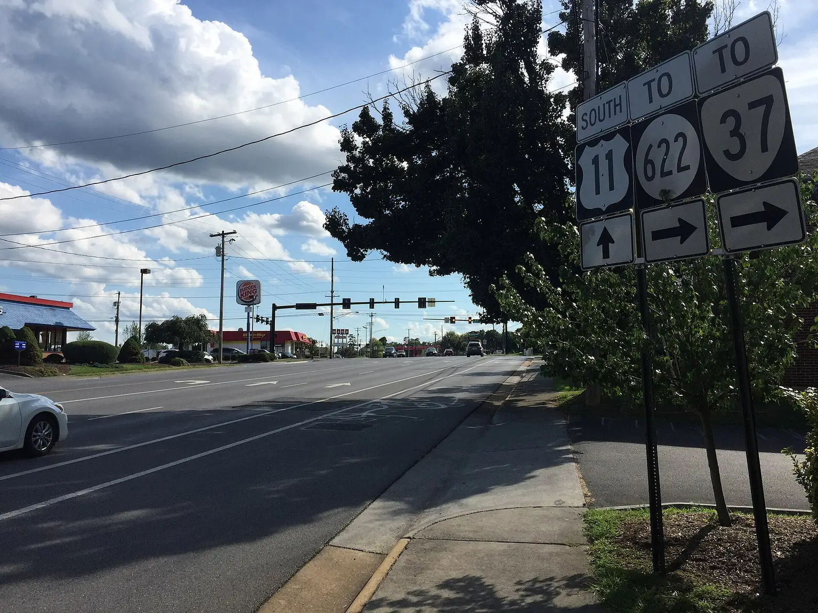
The plan draws South Central west of the CSX railroad, south of the Winchester and Western tracks and east of Valley Avenue (U.S. 11), down to the city line with Frederick County. Weems Lane, Papermill Road and Hope Drive cross it.
The blocks along Valley Avenue, Cedar Creek Grade and Weems Lane form the Cedar Valley Neighborhood Design District, which the city lists as approved. Its stated vision, over a couple of decades, is to turn the retail strip into walkable neighborhoods with housing, shopping, restaurants and gathering spaces. Ward 4 residents chose the name.
Every address is in ZIP code 22601 and in City Council Ward 4, on the city’s voting wards map.
Schools
Every city student goes to the same intermediate, middle and high school. Only the elementary school depends on the address. On the city’s School Districts map layer:
| School | Grades | Share of area addresses | State rating |
|---|---|---|---|
| Garland R. Quarles Elementary, 1310 S. Loudoun St. | Pre-K to 4 | About 71% | Meets Expectations |
| Frederick Douglass Elementary, 100 Cedarmeade Ave. | Pre-K to 4 | About 29% | Meets Expectations |
| Daniel Morgan Intermediate, 48 S. Purcell Ave. | 5 and 6 | All | Approaching Expectations |
| Daniel Morgan Middle, 48 S. Purcell Ave. | 7 and 8 | All | Approaching Expectations |
| John Handley High, 425 Handley Blvd. | 9 to 12 | All | Distinguished |
All seven city schools are Fully Accredited. Frederick Douglass Elementary, inside the area, has the highest framework score of the city’s elementary schools, 88.34. The map layer is undated, so check one address with the division’s WebQuery lookup or call Winchester Public Schools at 540-667-4253. Our schools guide has every rating and how to register.
Home values
The Zillow Home Value Index for ZIP 22601 was $349,952 in September 2026, up 1.1% from $346,046 in September 2025. Zillow’s index for Winchester as a whole was $398,946, up 1%. The index is a modeled typical value for the middle third of homes, not a sale price, and one ZIP covers the whole city. Our home prices guide has the trend.
Parks and trails
The 2022 plan found no parks and little green space in South Central. The city’s parks map now shows:
- Cedarmeade Green Space, 2644 Stonegate Drive, about 0.6 acres
The nearest larger parks are Park Place Grounds, 2024 Harvest Drive, across Valley Avenue in the Southwest area, and Weaver Park, 167 Bruce Drive, across the railroad in the Southeast area. Our parks and trails guide has the full list.
Getting around
- Interstate 81: Exit 313 (U.S. 17, U.S. 50 and U.S. 522) is about 1.8 miles by road from the middle of the area’s homes; Exit 310 (U.S. 11 and Route 37, Kernstown) is about 2.6 miles.
- Downtown: the Loudoun Street Mall is about 2.5 miles by road.
- Washington Dulles International Airport: about 54 miles by road.
- Buses: the Loop Route stops on Hope Drive at Wilson Boulevard and at Valley Avenue, and on Valley Avenue at Weems Lane and Cedar Creek Grade and at Research Lane, according to the city’s bus stop map.
- On demand: WinReady rides cover the whole city.
Distances are measured on the road network with OSRM routing on OpenStreetMap data. They are distances, not drive times. More in our getting around guide.
Groceries and everyday stores
The 2022 plan noted that none of the area’s three former grocery stores was still open. From OpenStreetMap:
- The Wellness Pharmacy, 2228 Papermill Road
The nearest supermarkets are across the railroad in the Southeast area: Martin’s, 1950 S. Pleasant Valley Road, and Walmart Supercenter, 2350 S. Pleasant Valley Road.
How we built this
The boundary is the one the 2022 Comprehensive Plan gives in words; we drew it on the city’s own street and rail lines. School shares count the city’s address points inside each elementary zone on the city’s map layer. We do not name individual subdivisions or describe who lives in an area.
Related guides: all Winchester neighborhoods, moving to Winchester and property taxes.
Frequently asked questions
What elementary school serves South Central Winchester?
About 71% of addresses in the South Central planning area are in the Garland R. Quarles Elementary zone and about 29% in the Frederick Douglass Elementary zone, on the city’s School Districts map layer, even though Frederick Douglass Elementary is inside the area. Check one address with the division’s WebQuery lookup.
What is the Cedar Valley Neighborhood Design District?
It is a city redevelopment district along Valley Avenue, Cedar Creek Grade and Weems Lane in Ward 4. The city lists it as approved, with a long-term vision of walkable neighborhoods with housing, shopping and gathering spaces in place of the retail strip.
How far is South Central Winchester from I-81?
Exit 313 (U.S. 17, U.S. 50 and U.S. 522) is about 1.8 miles by road from the middle of the area, and Exit 310 (U.S. 11 and Route 37) about 2.6 miles.
What is the typical home value in South Central Winchester?
The area is in ZIP 22601, where the Zillow Home Value Index was $349,952 in September 2026, up 1.1% from a year earlier. It is a modeled value, not a sale price.
Have your say